


Exploring Fall Wetlands at Evergreen Park
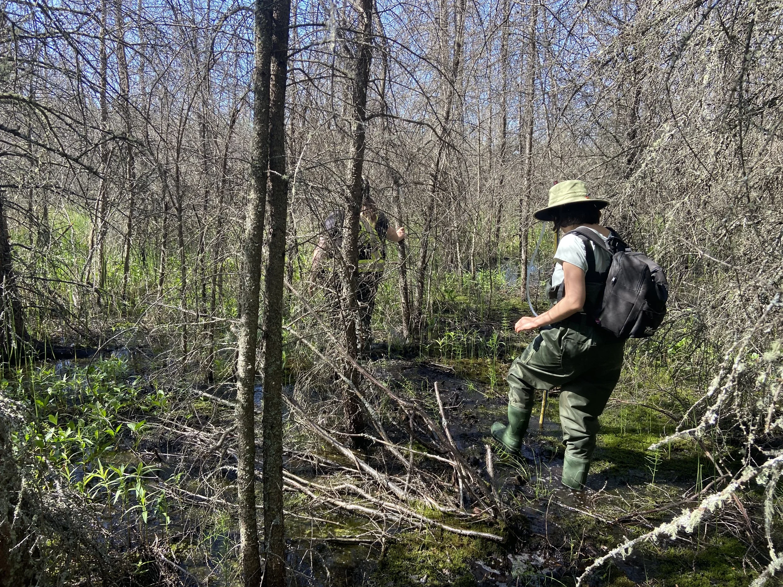
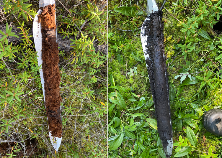
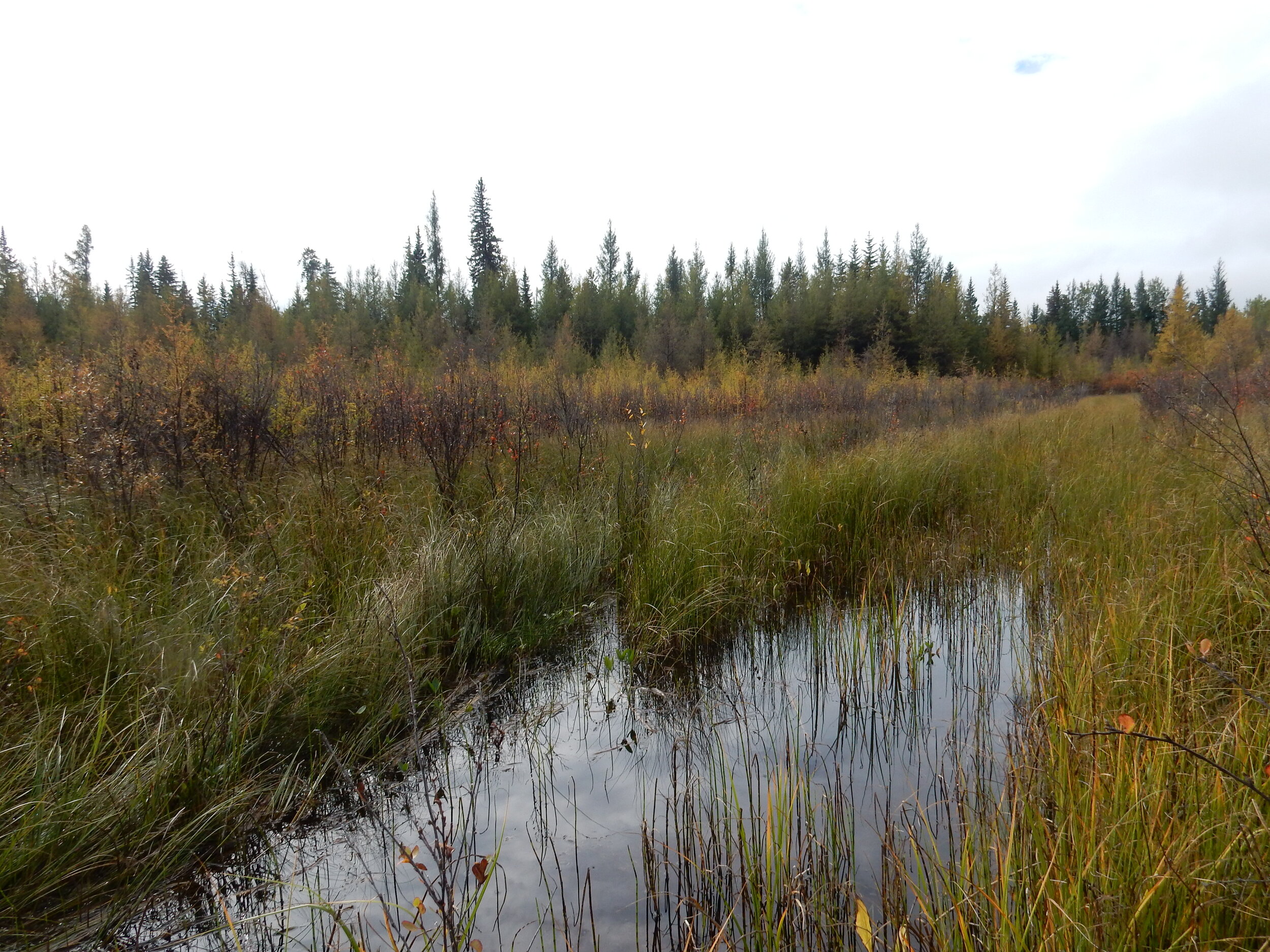
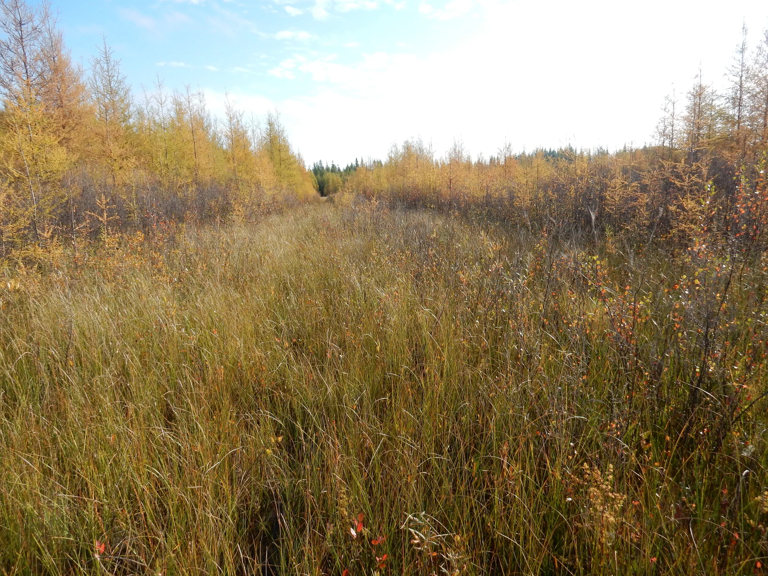
/This September, DUC staff and the Wetland Centre project manager visited the Wetland Centre MOU area to map wetlands, measure peat depths, and meet with stakeholders to discuss the project. It’s been a very wet year for much of northern Alberta, and the County of Grande Prairie is no exception. We found tamarack swamps with over 5 inches of standing water and observed waterfowl in the shallow open water and graminoid fen wetlands! Check out some of the photos from our visit:

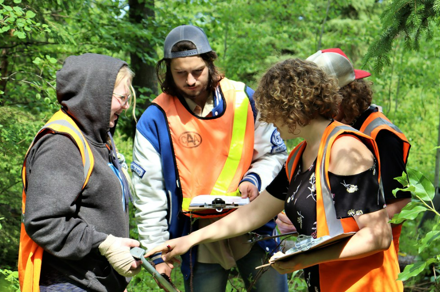
In addition to exploring and mapping wetlands, we also had the opportunity to meet with stakeholders to learn about their work, challenges working in and around wetlands, and opportunities to work together in the future. We met with the Canadian Forest Service to learn about CFS’ current projects at the Evergreen Learning and Innovation Centre, presented as part of the NAIT Centre for Boreal Research Boreal Nature Series, and met with project supporters Pembina and Keyera.

Jaime (CFS) and Kylie (DUC) are pictured in a graminoid fen.

Becky (DUC, pictured) and Kylie (DUC) presented on Wetland Remote Sensing: a Tool for Wetland Best Management Practices. Kylie and Angie (Wetland Centre Project Manager, Incremental Forest Technologies) followed up with a short presentation on the Wetland Centre.
Stay tuned for our next post to learn how we mapped wetlands at the Centre!