


A Day in the Field at the Wetland Centre with DUC Staff
/DUC staff members Leanne and Catherine set off to do some work at the Wetland Centre. Keep reading to get a glimpse into their day in the field!
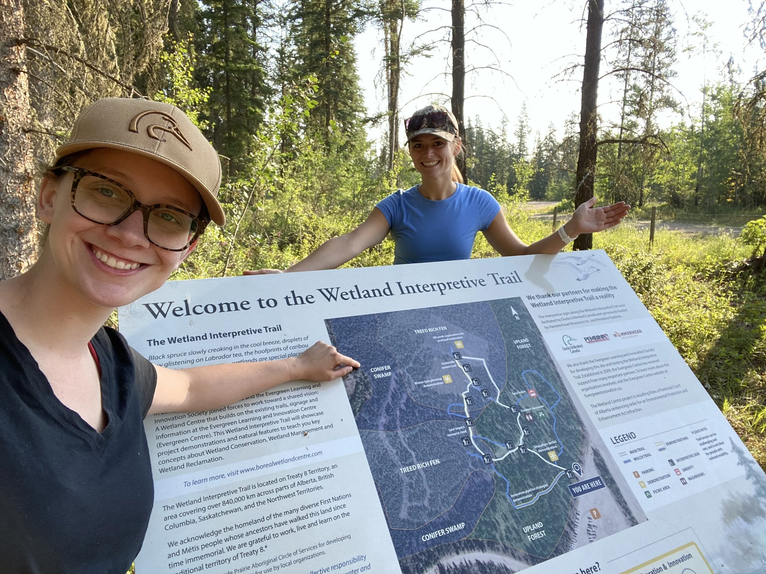
In early August we travelled to the Wetland Centre to maintain some of the citizen science infrastructure, install new equipment and check out the new signs that were recently installed - like this one at the site entrance.
After an initial walk-through of the site, we set to work deploying data loggers that will automatically collect water level measurements as part of the Wetland Hydrology Monitoring project. We’re using this data to better understand how water levels change over time in different wetland classes. The data collected from the iWetland citizen science project wells will also help support this.
At our third site, we were reminded that sometimes things don’t go according to plan. With a dry summer, the water level was too low in the well we originally picked to install a data logger at. So, we installed a new, deeper well in a different wetland and were then able to install the data logger.
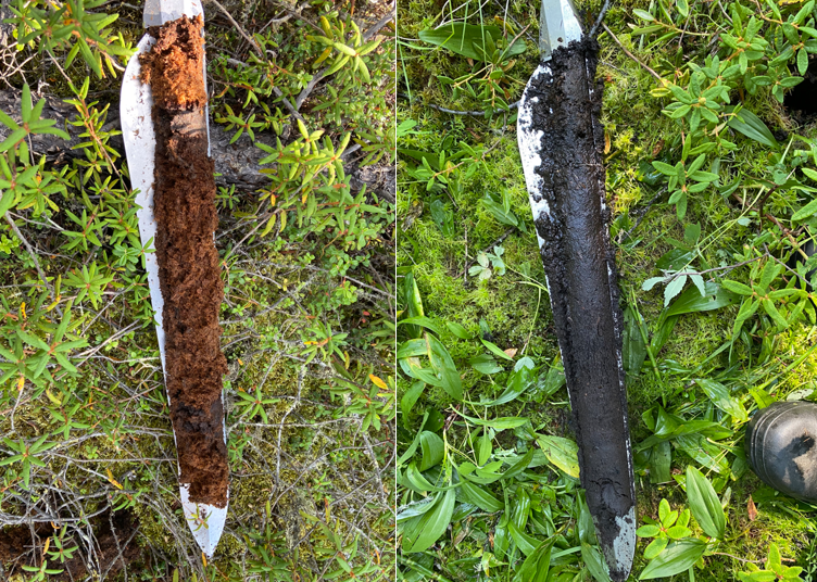
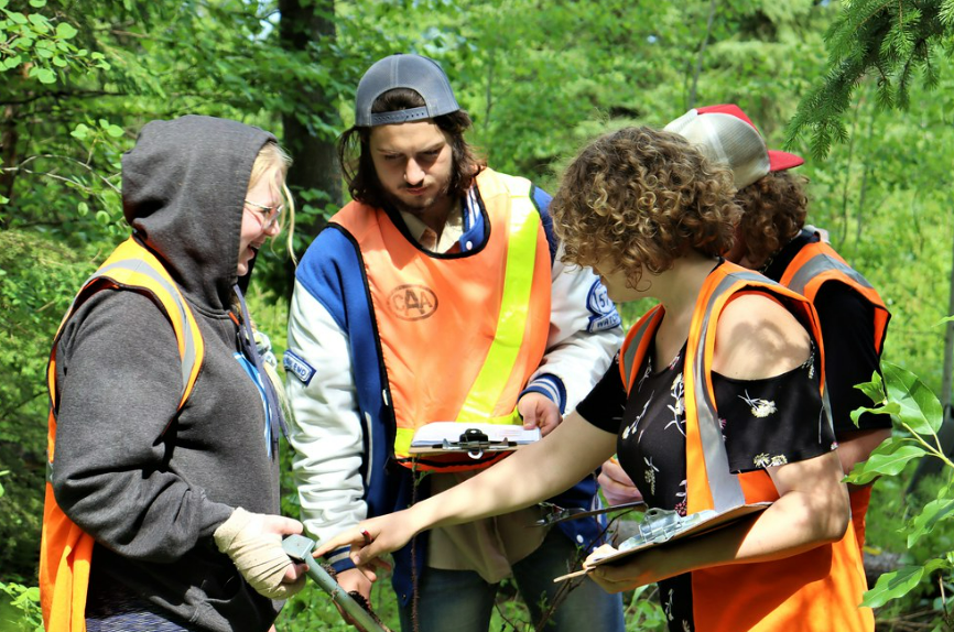
Next, we measured peat depths to fine-tune our wetland maps of the site. In doing so, we tested out a new tool – an avalanche probe! The probe should easily push through peat soils, but not the underlying mineral soils, to give us an estimate of peat depth. Because this is a new-to-us tool, we brought a soil auger to double-check our depth estimates. We found that while the avalanche probe worked in many areas, it was challenging to discern the difference between peat soils and very wet clay soils. If you can’t detect this transition, you can easily overestimate the depth of the peat. It was a great opportunity to test this new tool but until we get a feel for the changes in soil type, we’ll be using the auger to confirm these measurements.

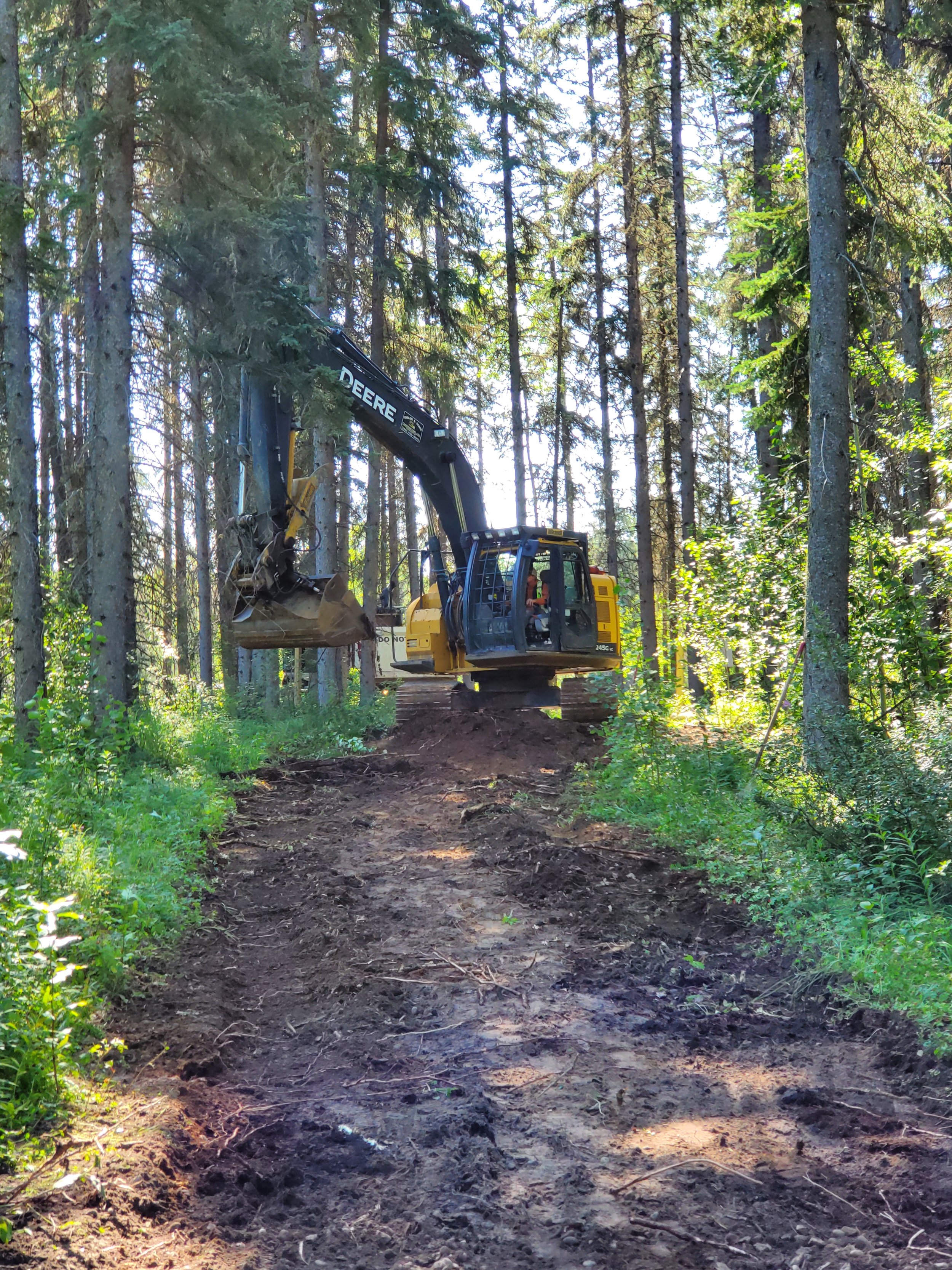
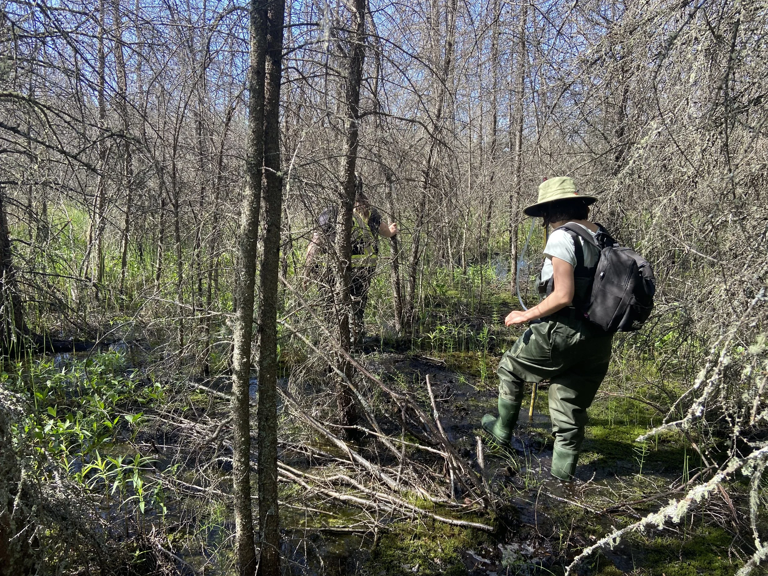
Installing a new hydrology well

Testing out the avalanche probe
We also re-installed several trail cameras throughout the site. We’ve been using these not only to capture wildlife photos but also to capture changes in plant growth and hydrology in three different wetland types - a marsh, fen, and swamp.
We had a great day getting out of the office and into the field at the Wetland Centre. With maintenance tasks and equipment installation checked off for the season, we’re now looking at compiling and analyzing the water level, peat depth, and trail camera data collected- and as always… planning for what comes next!

